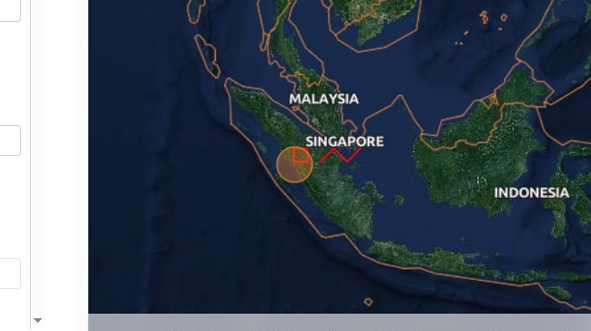
What you’ll accomplish: Configure a GeoJSON dataset and verify its styling and location in the dashboard preview.
Applications used: Data Editor, Publishing Dashboard. Optionally File Browser for geojson storage
Estimated time: 20–30 minutes
Before you start: You need a publicly accessible GeoJSON file or our File Browser, a compatible style-definition URL, and publishing access to an EOxHub Workspace with Data Editor
Integrating a dataset from small GeoJSON file into the gtif-austria.info service
1. Navigate to https://

2. Click “Log in”.
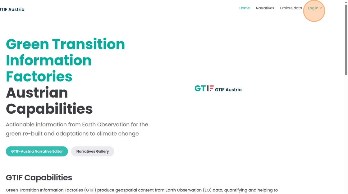
3. If it is the first time visiting the workspace you will need to register.
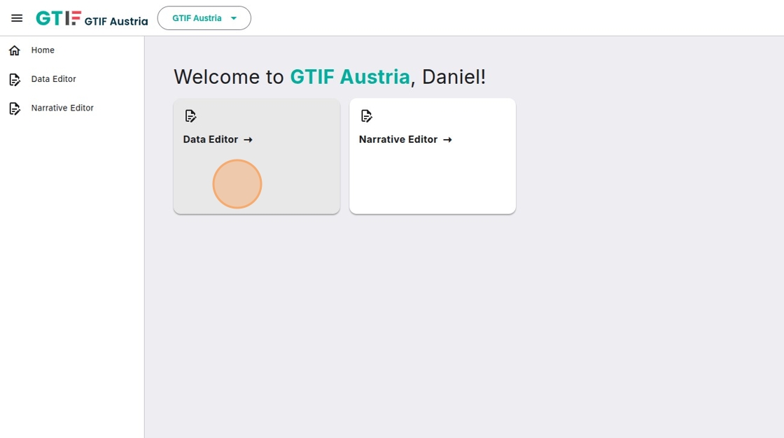
4. After registration you are forwarded to the workspace. Click “Data Editor”.
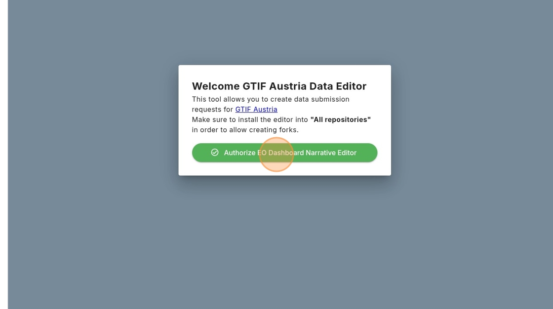
5. If it is your first visit to the Data Editor, it needs to be linked to your GitHub account. Click “Authorize GTIF Austria Data Editor”.
6. Click on your username.
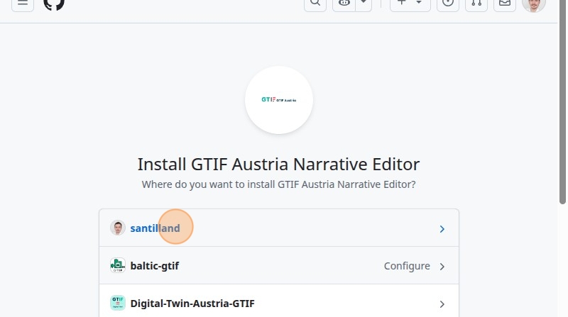
7. Click “Install & Authorize”. It is important to select “All repositories” because git-clerk will create a fork from the existing data catalog.
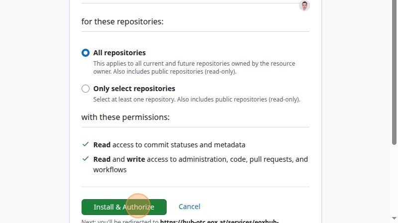
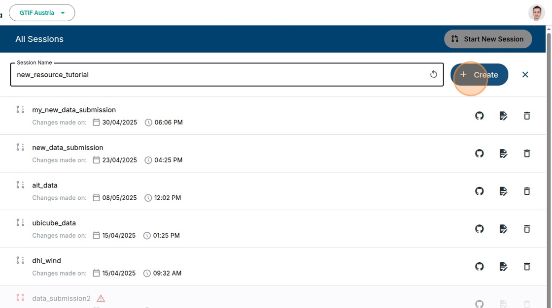
8. Click “Start New Session”.
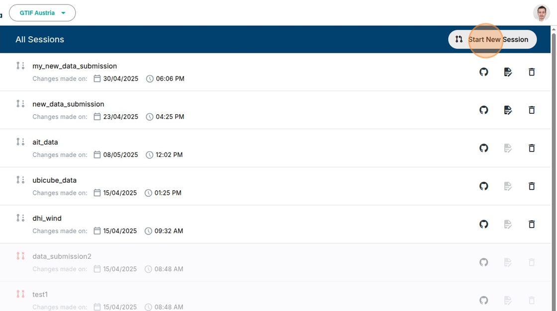
9. Click the “Session Name” field.
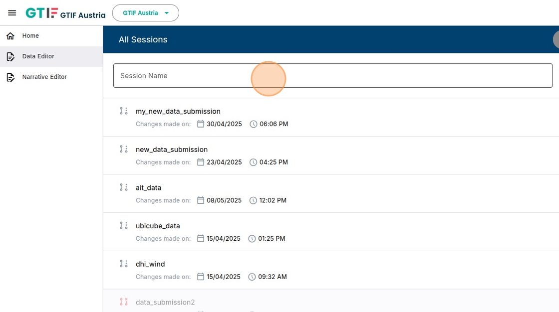
10. Type how you want to call your session, e.g. “new_resource_tutorial”.
11. Click “Create”.
12. Click “Create Dataset Submission”.
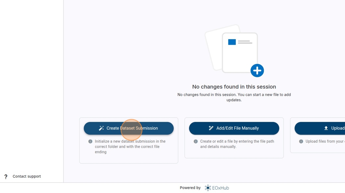
13. Click here.
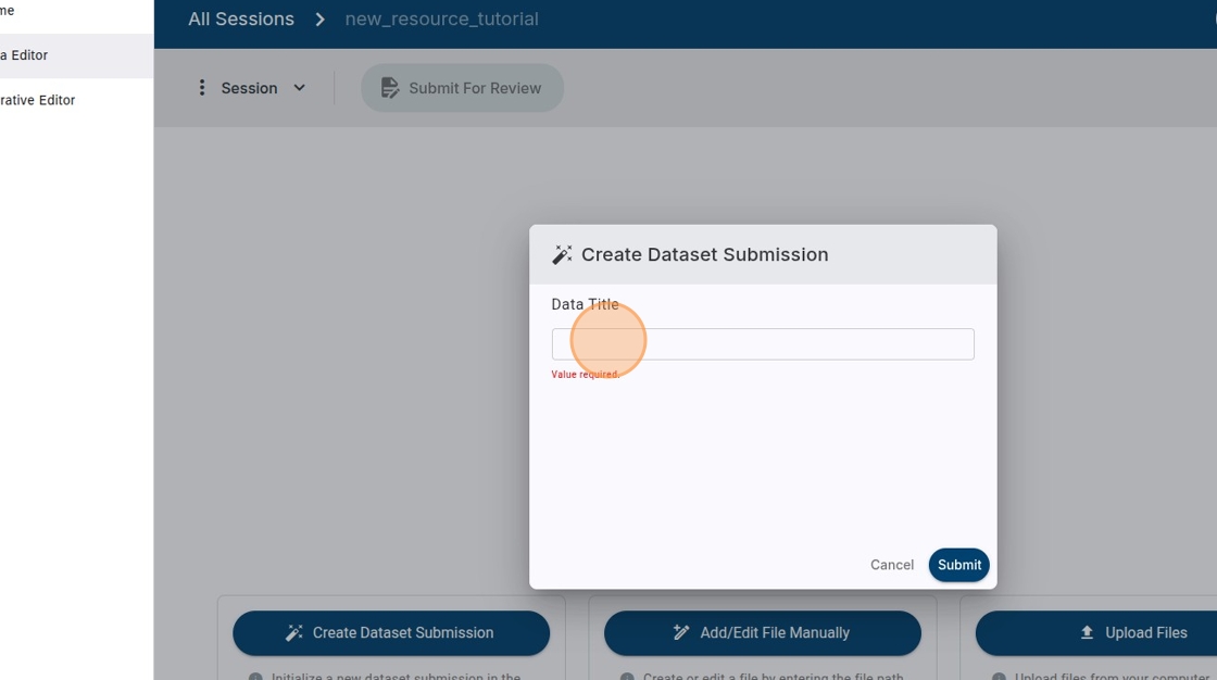
14. Type the name you want to use for your data, e.g. “geojson_example”.
15. Click “Submit”.
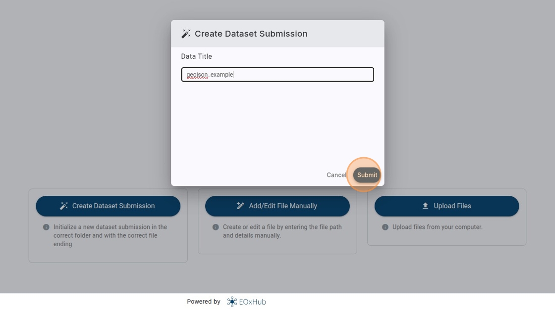
16. Click here.
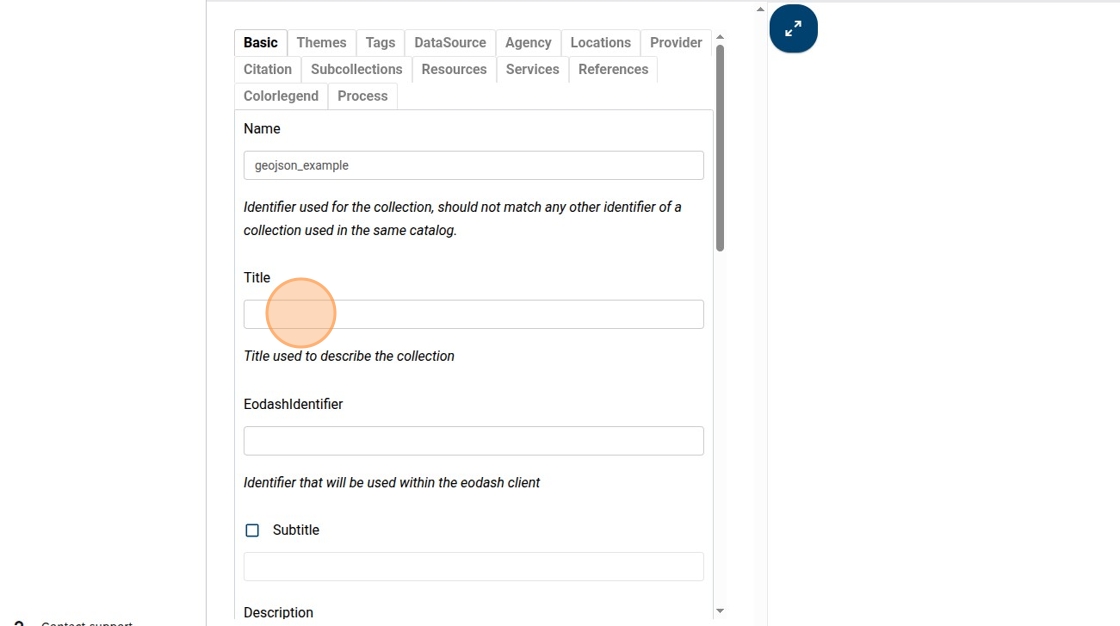
17. Type the title you want to give your dataset, e.g. “GeoJSON Example”.
18. Click here.
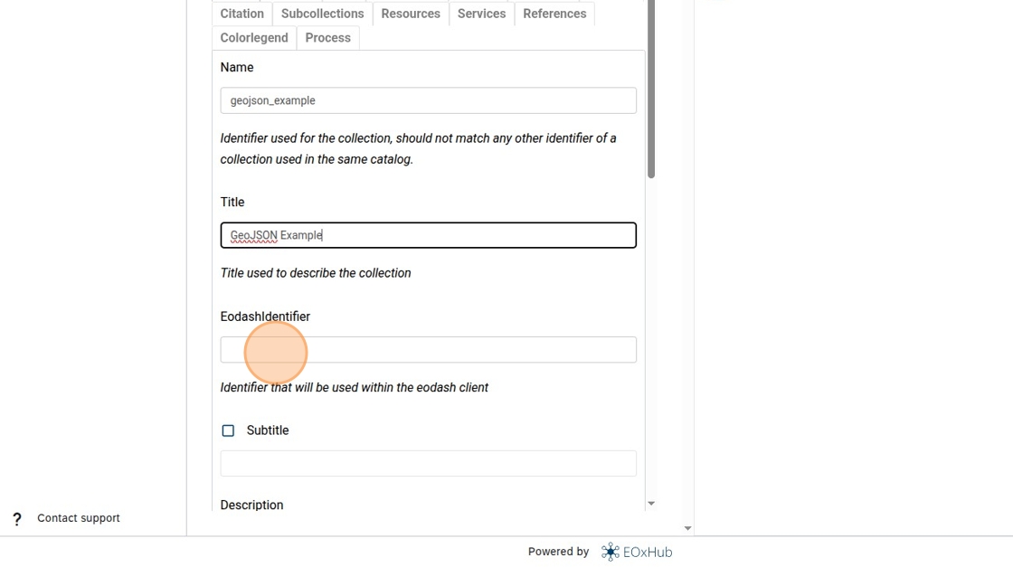
19. Type the identifier you want to appear in the URL when selected, e.g. “geojson_example1”.
20. Click here.
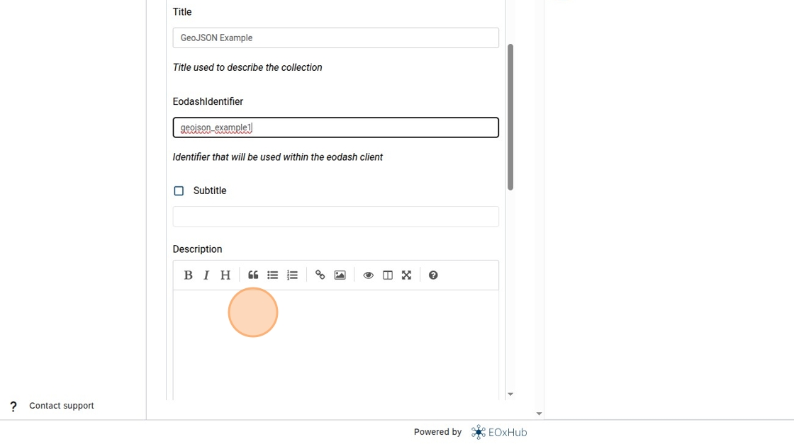
21. Type the description for your dataset (as Markdown), e.g. “# Great description”.
22. Click on Resources.
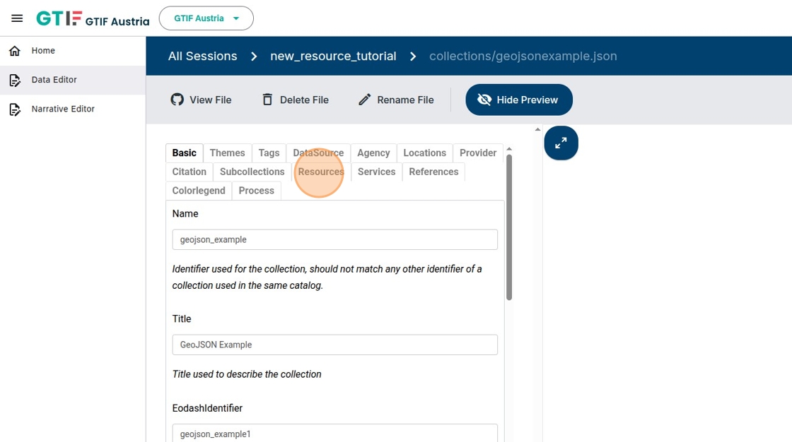
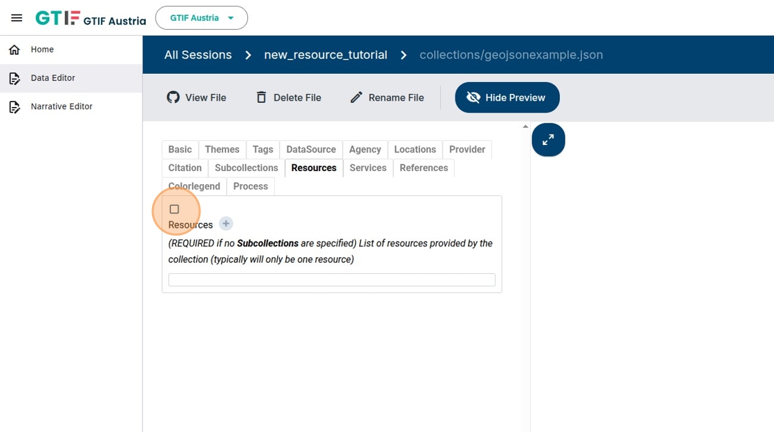
23. Activate the checkbox.
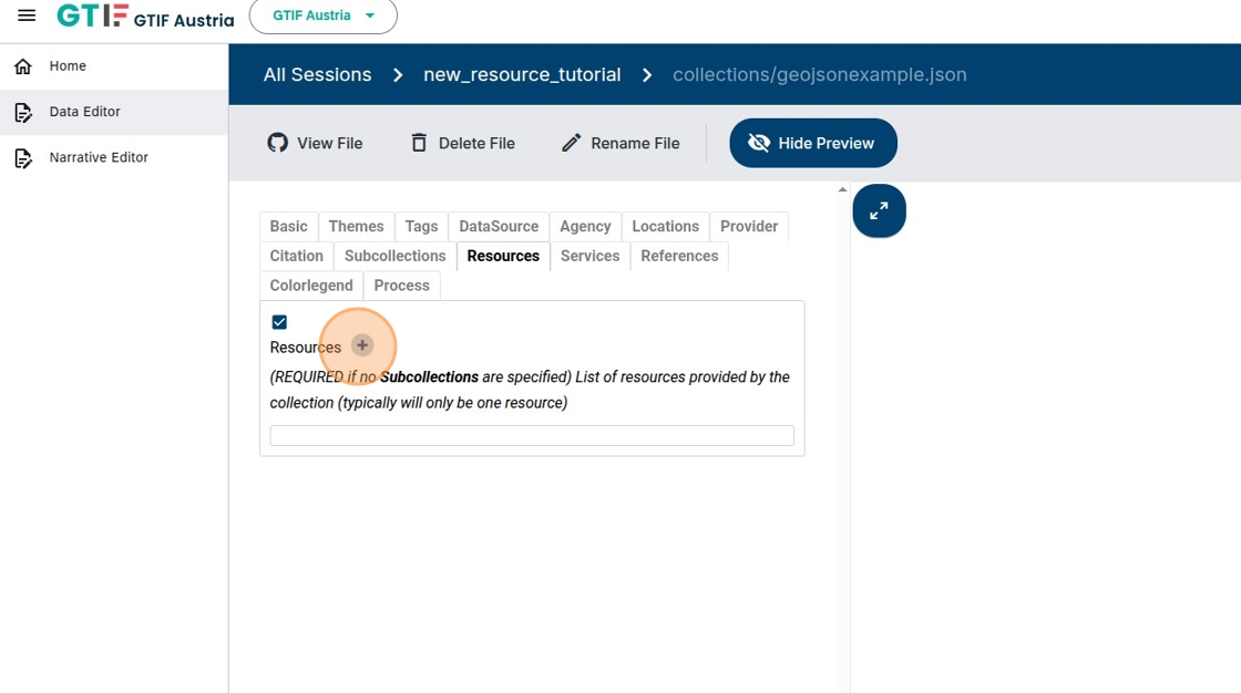
24. Click plus symbol to add a resource.
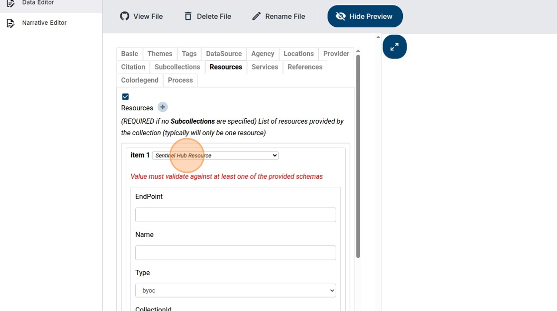
25. Select type of resource, in this case “GeoJSON Source”.
26. Click here.
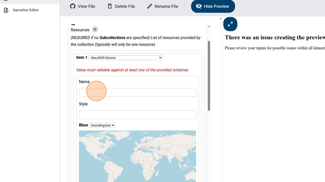
27. Add “GeoJSON source” as the Name (this will be autofilled in the future).
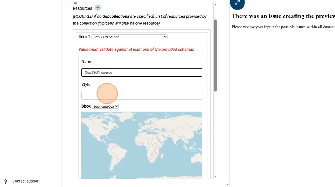
28. Add the URL of the pre-created eodash JSON style file. See also https://
(Dedicated tutorial on style definition being worked on)
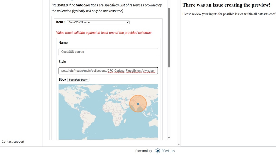
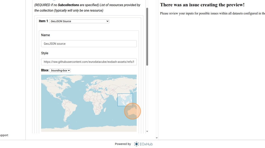
29. If you want the dashboard to zoom to a specific area you can select a bounding box on the map.
30. The GeoJSON source assigns files to times. Click the plus button to create a new time entry.
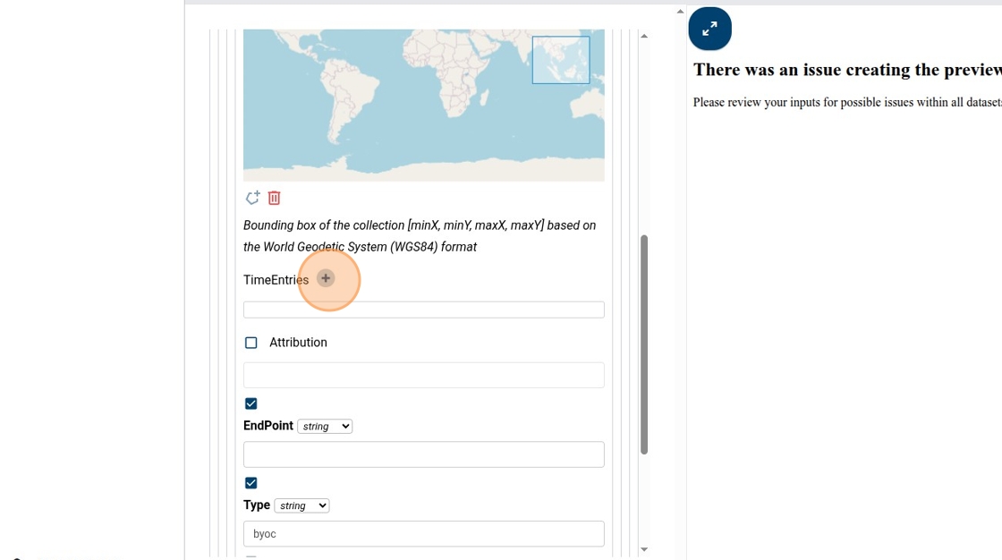
31. Click here.
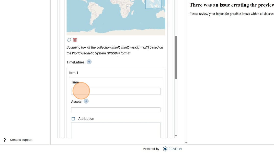
32. Type a time string in ISO 8601 (ISO 8601), e.g. “2025”.
33. Add an asset for that time; click on the plus button.
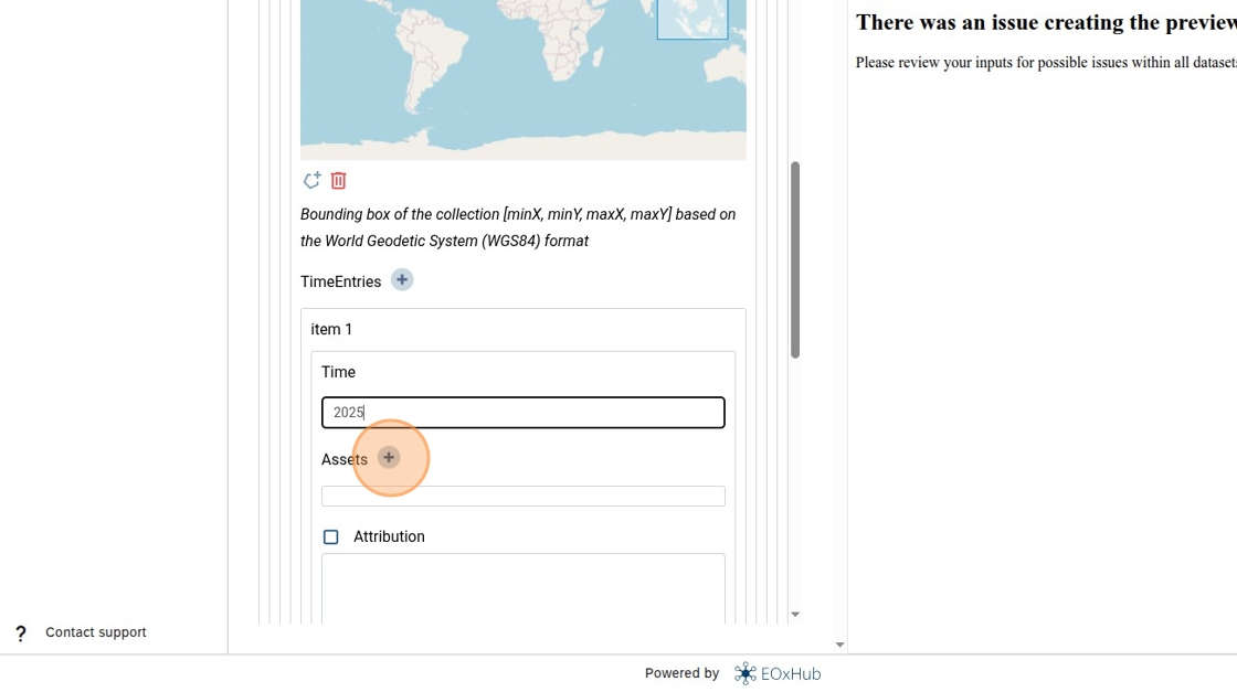
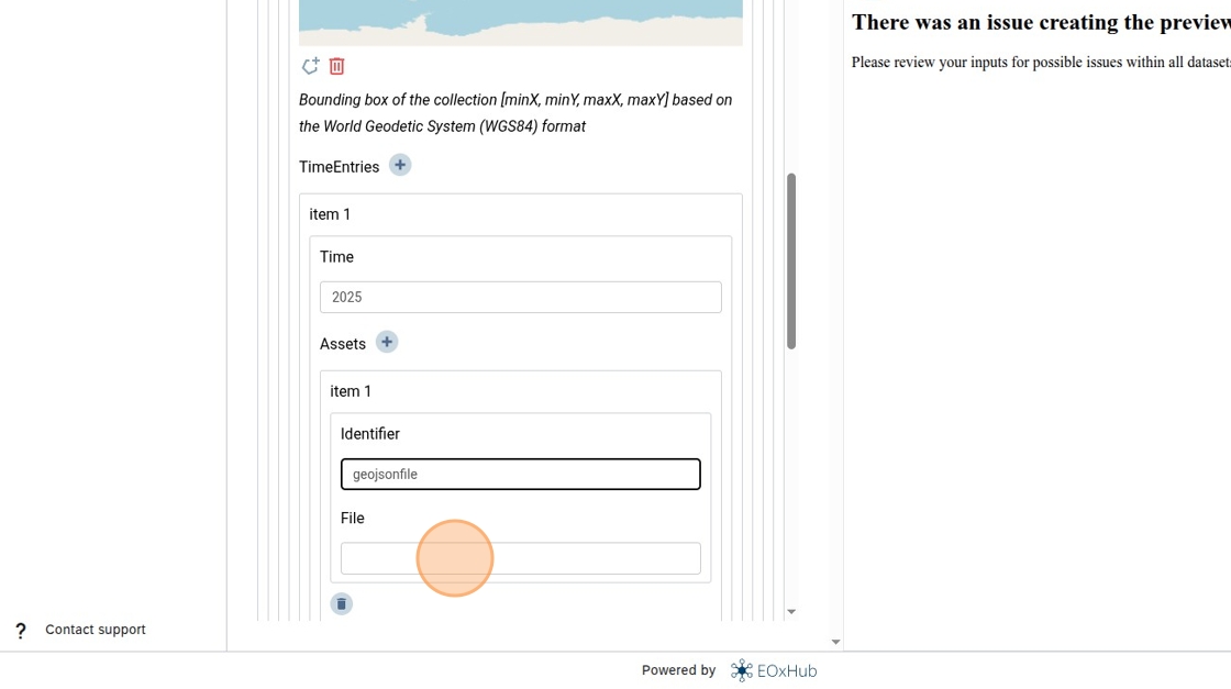
34. Type an identifier for the asset you want to use and add the public URL of your GeoJSON file in the field entry.
35. Disable optional parameters by unchecking them (this step will not be needed in the future; they will be disabled automatically).
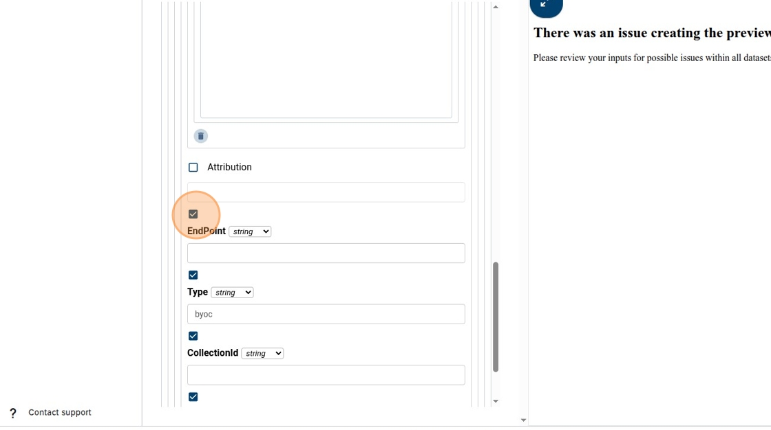
36. Click here.
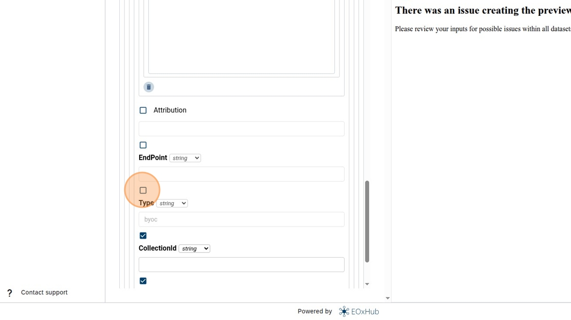
37. Click here.
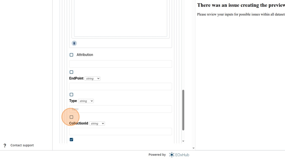
38. Click “Save”.
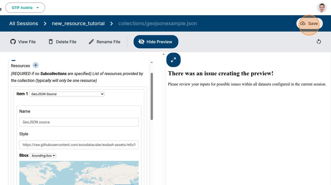
39. If the inputs were correct you should see “Preview creation is currently running...”.
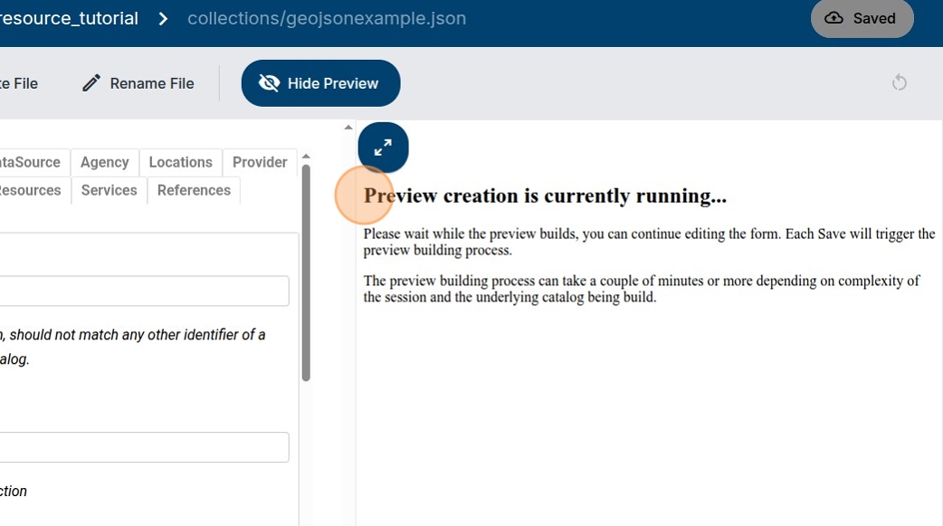
40. After some time the preview should load, you can click on “Select indicator” to preview the newly configured dataset.
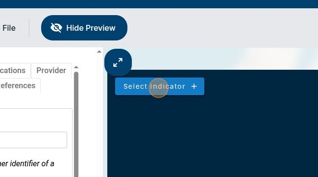
41. Select the dataset you configured.
42. Close the Selection panel by clicking “✕” (you can also use the fullscreen button to change from mobile view).
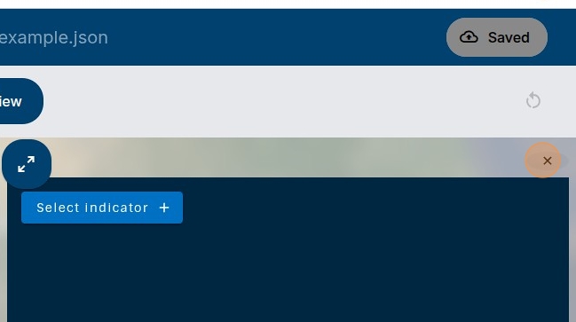
43. Congratulations! You should see your data styled and displayed in the area you selected.